Welcome to the Atlas of the Federal District in its digital version! An Atlas is by definition a publication that brings together a collection of geographical maps. This type of publication is often used to systematize a set of information about a particular region of the globe. The Atlas of the Federal District is a publication developed by IPEDF in 2020 with the objective of grouping and providing information on historical, geographic, environmental, social, economic and cultural characteristics of Federal District. IPEDF innovates by bringing and making this tool available in digital format, accessible to all, including an English and Spanish version. This is an important tool to get to know the territory of the Federal District and also support learning and research development.
Axis
The Federal District - Federal District is located between the 15°30’ and 16°03’ south latitude parallels and the 47°18’ and 48°17’ west longitude meridians, in the CentralWest Region of Brazil. The Federal District covers an area of 5,761 km², which corresponds to approximately 0.06% of the national territory. The Federal District has the natural limits of the Preto River to the east and the Descoberto River to the west. The northern and southern limits are limited by straight lines that define the quadrilateral corresponding to its area. It shares boundaries with the following municipalities: Planaltina, Formosa, Cristalina, Cidade Ocidental, Valparaíso de Goiás, Novo Gama, Santo Antônio do Descoberto, Águas Lindas de Goiás and Padre Bernardo, which are in the state of Goiás, and Cabeceira Grande, in the state of Minas Gerais.
 Read more
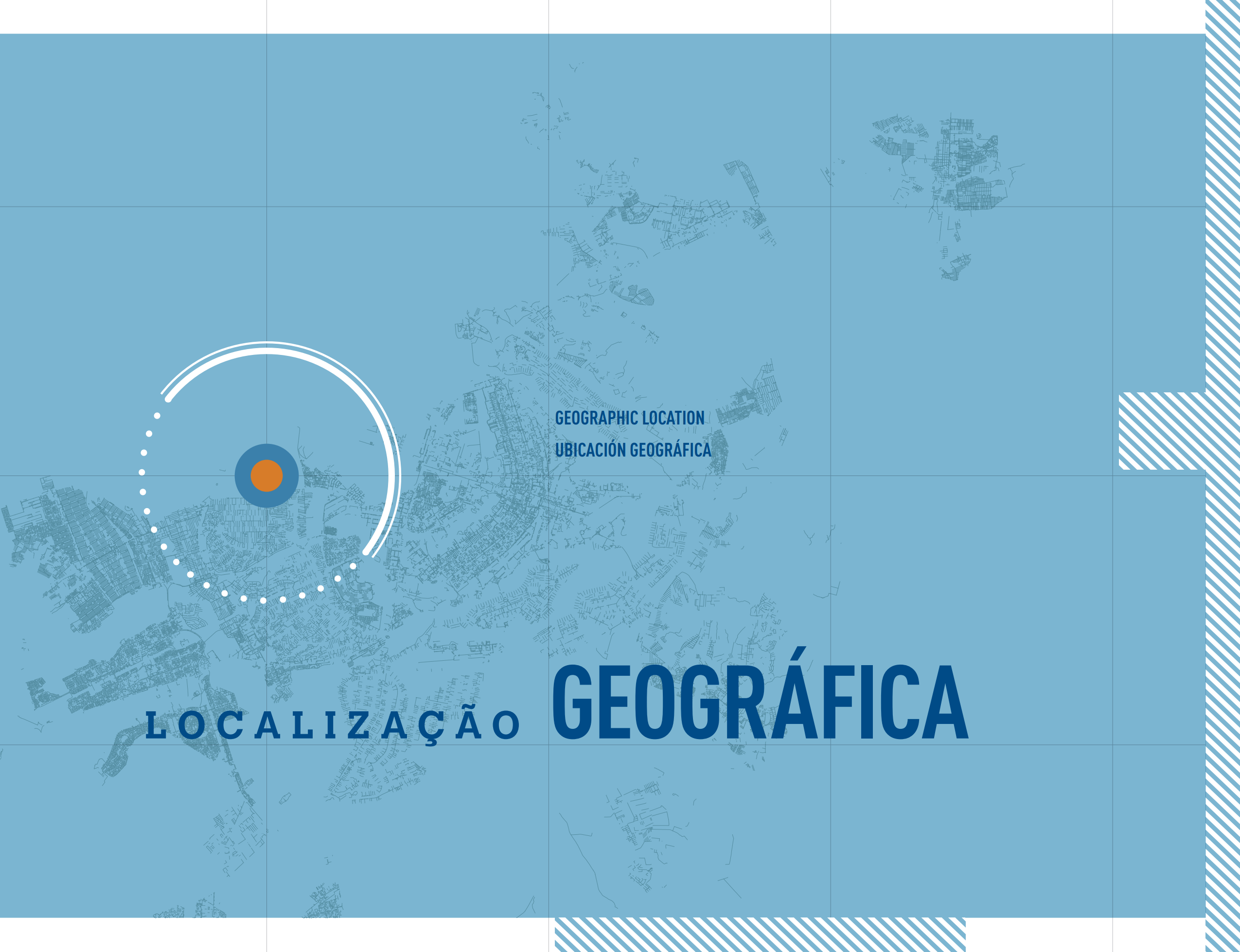
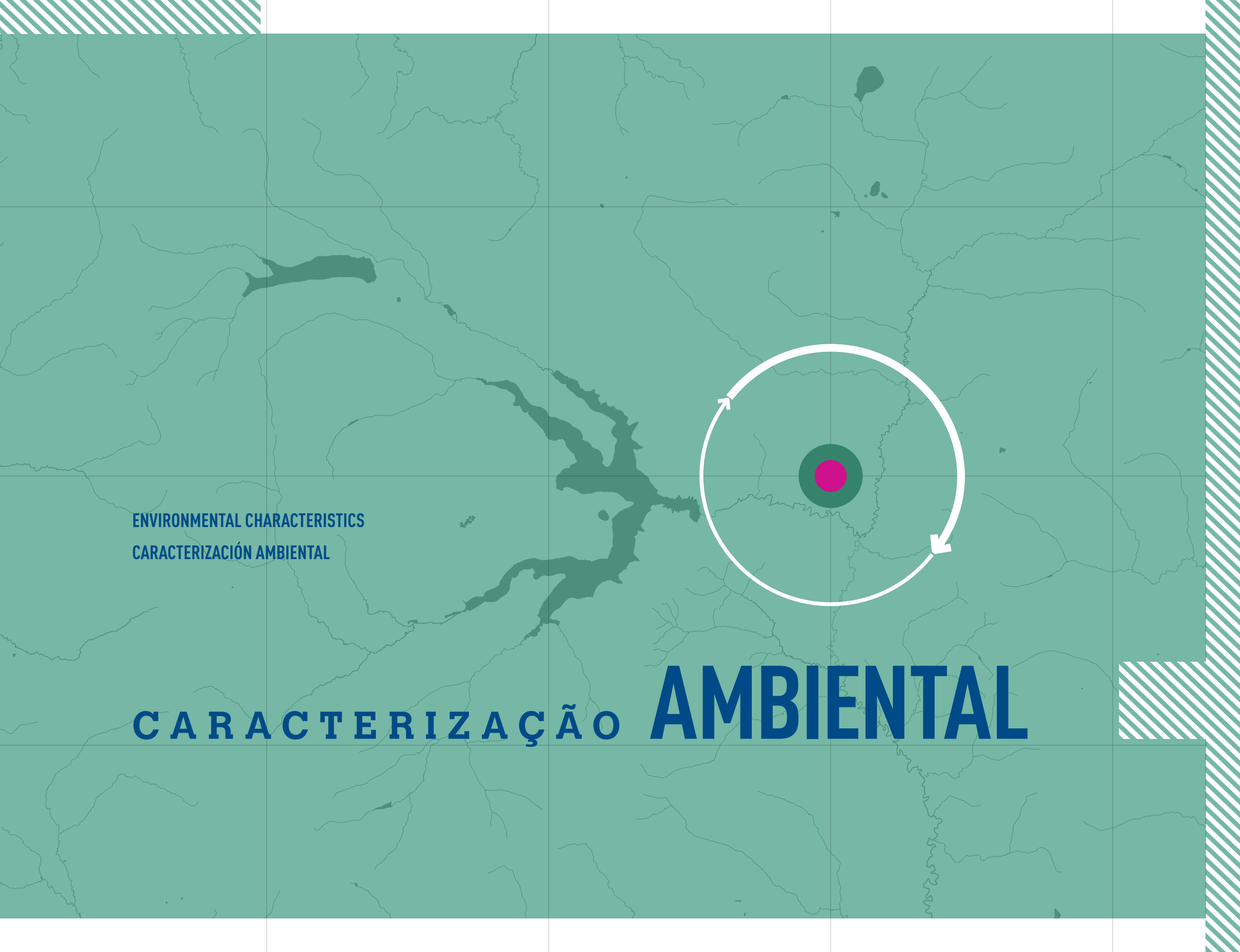
The Federal District is located in the central portion of the Brasilia Folds and Thrusts Zone. Its regional geological context is constituted by four distinct lithological sets: Canastra and Paranoá groups (the Meso-Neoproterozoic Age) and the Araxá and Bambuí groups (the Neoprotereozoic Age).
The Federal District arose due to the transition of the capital of the country to the Mid-West region. The main objectives in moving the capital to the center of the country were to promote the integration of the territory, develop the interior, protect the seat of power from coastal attacks and occupy the ample open land in the central region. The movement in favor of building a new capital in the interior of the country goes back to the time of colonial Brazil, but the possibility was only strengthened during the Empire. In 1823, José Bonifácio de Andrade e Silva reinforced the proposal to transfer the capital and suggested the name “Brasilia”.
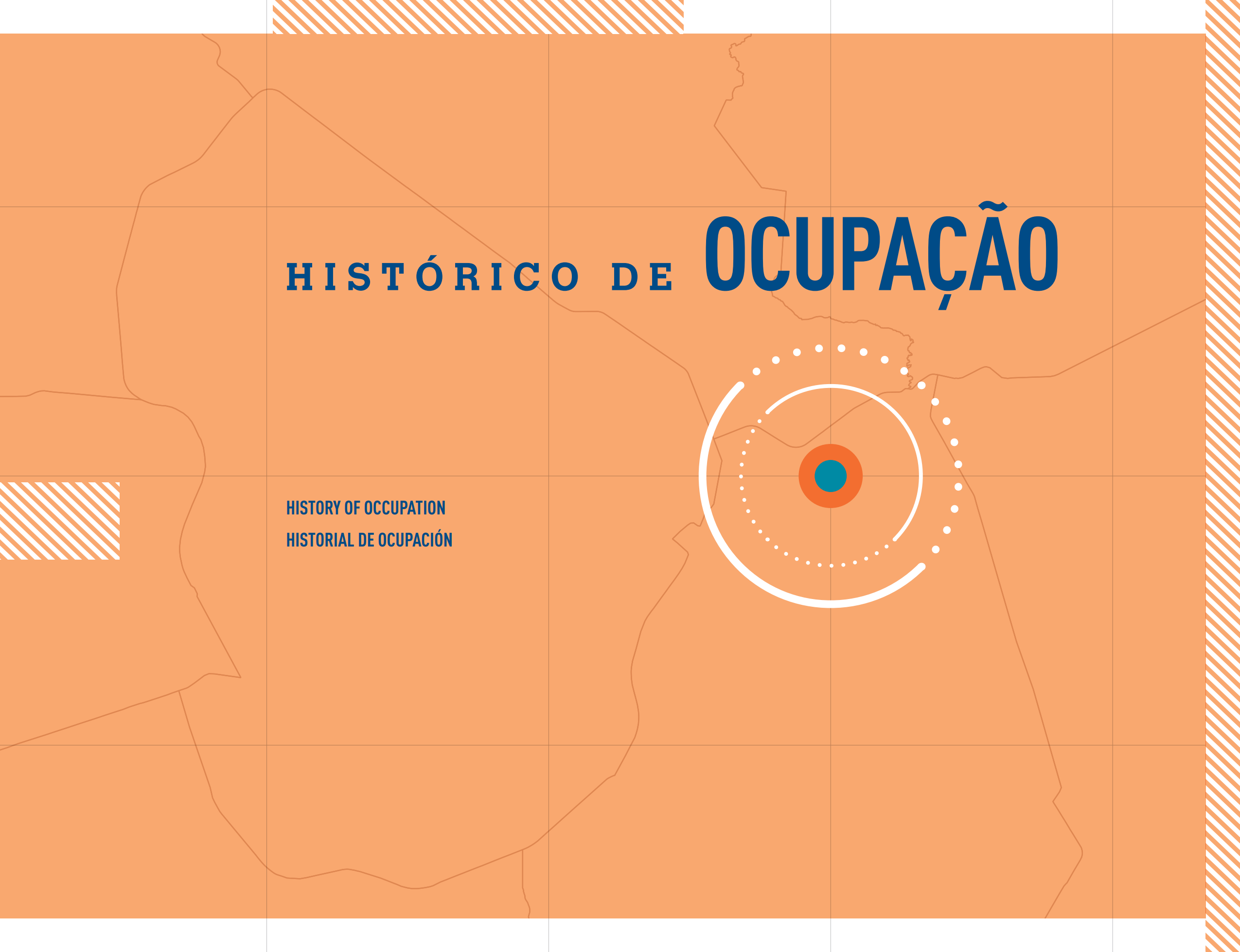
The urban areas of Planaltina and Brazlândia, respectively founded in 1859 and 1933, existed before the transfer of the capital. During the construction of Brasilia, new housing areas were created to lodge the laborers. In 1956, the Cidade Livre was founded, later named Núcleo Bandeirante; Vila Paranoá was camp of workers who came to build the Paranoá Lake dam in 1957, and there they remained; the city of Taguatinga was founded in 1958 to house workers who came for work on the capital; Cruzeiro was founded in 1959 to house public employees who were transferred to Brasilia; Gama was inaugurated in 1960 to accommodate workers transferred from the Plano Piloto, as was Sobradinho, also founded in 1960.
The population of the Federal District was formed by people from different regions of Brazil as well as those who already resided on the land that had before belonged to the state of Goiás. Many people were attracted, especially by the offer of employment in the capital and, based on this, the population grew rapidly. In 1957, according to information gained by the experimental census conducted by the IBGE, there were 12,283 residents in the Federal District. A little more than 50 years later, the 2010 census stated that there were 2,570,160 inhabitants. Today, Brasilia is the city with the fourth largest population in Brazil.
Urban water supply in the Federal District is the responsibility of the Federal District Environmental Sanitation Company - CAESB, which is composed of twelve systems: Descoberto-Paranoá (the old Descoberto, Torto/Santa Maria, Sobradinho/Planaltina and São Sebastião systems), Brazlândia, Água Quente, Incra 8, Basevi, Vale do Amanhecer, Papuda, Chapéu de Pedra, Engenho das Lajes, Total Ville (Setor Meirelles), Santa Mônica and Palmeiras. In 2018, these systems used 26 surface and 181 subterranean fountainheads to attend over 99% of the Federal District population. The quality of the water distributed is systematically monitored, with analyses of the treated water being performed at 15 Water Treatment Stations - ETA as well as in samples taken at different points in the supply system.
Brasilia retrains the largest heritage area (112.25 km²) listed in the UNESCO World Heritage Sites (United Nations Educational, Scientific and Cultural Organization). The Federal District also has other elements considered heritage items by federal and district institutions that, due to their significant importance, require permanent protection and preservation to assure their legacy to future generations. The cultural heritage can be divided into two large groups:
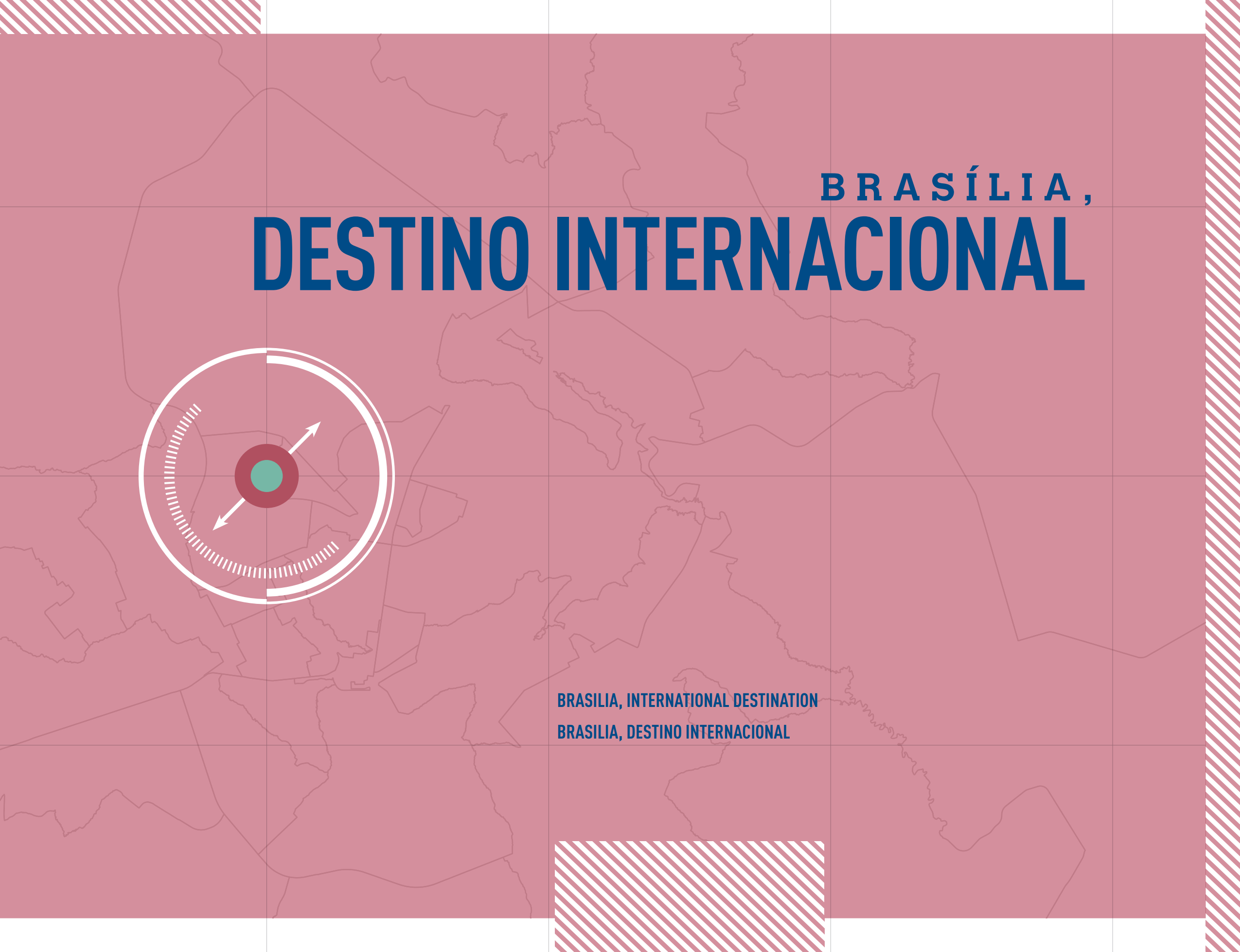
In being the federal capital, Brasilia is home to a great number of international organization representations, embassies and consulates, most located in the Plano Piloto RA. Today, 131 countries and 28 international organizations are represented in the Federal District.